Technology
AiroCollect provides an accurate understanding of the volumes, distances, heights and areas essential to your project.
How does it work?
AiroCollect is a multilingual online cloud based application. This means you can access it anywhere as long as you have an internet connection.
There is no need for an installation and no need for a heavy computer to render the results. Hereby you save thousands of euros in investment.
There is nothing to configure, you just upload the right images taken by your drone and we do the rest. Saving you many hours in data treatment.
AiroCollect also takes care of saving all your data, meaning the systems organizes and structures all you do (no more loose papers), making it easy to work on it and share with your colleagues.
The process is as simple as follows:
- You fly with a drone over the area you want to scan (5-10 min).
- You upload the pictures into collect.airobot.eu.
- After processing, you get an e-mail (30 min average)
- Go and take all measurements/exports you need
You do no longer need to go back in case of a forgotten measurement!
Drones

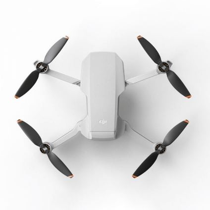
MINI-1 & MINI-2
- Flies automatically
- Easy to use
- Allowed almost everywhere

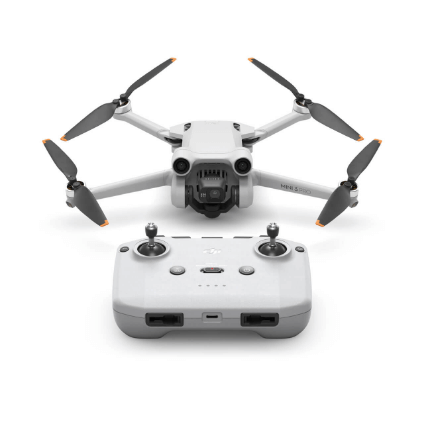
MINI-3 & MINI-3 PRO
- Flies automatically
- Easy to use
- Allowed almost everywhere

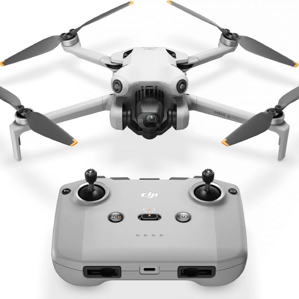
MINI-4-PRO
- Soon to be automated
- Easy in control
- Allowed almost everywhere
- Improved sensors for obstacle detection
Compatibility
AiroCollect is compatible with any type of drone equipped with GPS or GPS-RTK functionality. This gives you the freedom to choose the drone that best suits your project needs.
Download
Click the icons above to directly install the application.
The applications are made to make scanning an area with a drone easy! They are all free of charge.
(other DJI drones can work too but are not supported)
- MINI-1 + MINI-1 SE
- MINI-2 (not MINI-2 SE ; not MINI-4K)
- MINI-3 + MINI-3 PRO
- MINI-4 + MINI-4 PRO
(other devices can work too but are not supported)
- Android 10-11-12-13-14
- Device support: Samsung S7, Samsung S8, Samsung tabs 705c, Samsung S6, Samsung S5, Samsung NOTE4, Samsung NOTE3, Google Pixel, Google Nexus 9, Google Nexus 7 II, Ascend Mate7, Huawei Mate 8, Nubia Z7 mini, SONY Xperia Z3, MI 3, MI PAD, Motorola G24
Languages
English ; Spanish ; German ; French ; Italian ; Dutch
Fly
Roof
Fly a zigzag in a horizontal plane over the roof and let the drone take pictures. No need to get up there! Use the drone to take some close ups after the scan to add details of defects to the 3D measurable model in Airocollect.
Facade
Fly a zigzag vertically next to the facade in minutes and let the drone take pictures. Be able to count the bricks in the wall, get insight in its surface roughness. Understand where windows are placed and annotate defects. Ideal to calculate amount of isolation, plaster needed, scaffolding to be placed,…
Terrain
Fly a zigzag in a horizontal plane over the terrain and let the drone take pictures. Fly higher to cover large areas and get good insight in height differences, tree placement and soil volumes. Ideal to calculate surface areas of grass and pavement, volume of bushes to remove. Export the terrain and design what is needed.
Measure
2D tools
- distance
- surface
- images
- circles
- notes
- texture
- compare
3D tools
- distance
- area
- height
- corners
- notes
- volumes
- height profiles
- reference points
Import and export
- 2D CAD DXF
- ortho JPG
- pointcloud E57
- 3D CAD DXF
- DEM JPG
- PDF-rapport
- ortho TIFF
- DAE Collada
- CSV-export
- pointcloud LAS
- pointcloud OBJ


Accuracy
Our software is very flexible about which drone you use and it is also exceptionally accurate. On average the scale is 99% accurate. Proven to be more than sufficient for quotations, work preparation and invoicing.
If verified true accuracy is wanted, one can scale to an exact measurement taken or use a self defined reference plane. Use of an RTK corrected drone provides for the same. With one of those mitigations, data is additionally useful for accurate design and land registry.
Precision
Whether measuring volumes, surfaces, distances or elevation, Airocollect delivers measurements with precision down to the centimeter, allowing you to use geographic points easily and accurately.
Measurements can be taken in metric or imperial.
Classification
Classifications contain a self defined label and color to help in summation of measurements taken.
- Roofers get an immediate overview of total surface area of tiles, scaffolding or total distance of ridges and gutters and much more.
- Gardeners get the total surface area from for example grass or pavement, total volume of soil to displace or bushes to remove or total number of sprinklers to install,…
- Generically you can use them to get periodic inventory on stock piles or all other different type of aggregated measurements.
In total 30 self defined classifications can be configured.
Share
Quote
Reinforce your quotations with a visual overview on PDF.
Work
Measure efficiently and underpin your work with visual support. Make your project interactive on the Internet with ease, using iFrame.
Design
Easily export your projects to your favorite design programs, such as Vectorworks, SketchUp and AutoCAD.
Invoice
Avoid discussions by supporting your billing with clear, visual evidence.
What will you receive?
AiroCollect Cloud Software
Strengthen your project preparation with our software.
DJI Mini - 4 pro
Experience the latest pinnacle of compact drone technology.
Hard case
Protect your drone and take it with you everywhere.
Android phone
Control your drone with an Android phone.
1-op-1 training
Need help? Receive personalized guidance with our 1-on-1 training.
Go for a monthly or yearly subscription.
Small
- Max 12 scans/year
- Full Functionality
- Access Subscription
- Up to 3 Users
- 2 Year Scan Storage
- Any drone
For occasional measurement
Medium
- Max 36 scans/year
- Full Functionality
- Access Subscription
- Up to 5 Users
- 2 Year Scan Storage
- Any drone
For difficult to measure areas
Unlimited
- ∞ scans
- Full Functionality
- Access Subscription
- Up to 10 Users
- 2 Year Scan Storage
- 2 Drones of any type
For all areas, anytime, anywhere
What to expect.
- 1. Choose the subscription that suits you.
- 2. No installation required! Dive right into our software via our welcome email.
- 3. Receive your drone and phone, or start measuring right away.
- 4. Explore our software at your own pace through our YouTube videos. Speak to a staff member online or take advantage of our training program.
Upgrades ; Downgrades ; Cancellation
- Active licenses are cummulative in # scans, # drones used, # users, # concurrent dataset processing. (need more, buy more)
- The latest bought license date + 1 year will determine the final end date.
- The latest bought license type will determine the license program (upgrade or downgrade).
- Unused “Limited License” scans will automatically transfer to the following year upon license renewal.
- With a “Limited License”, only the latest purchased license will automatically renew.
- With an “Unlimited License” only and all “Unlimited Licenses” will automatically renew.
- Cancellations can happen at any time. The remaining period is not refunded and the renewal will not take place.


